Latest Success Stories
Monitoring of the Gingin Coast
Client:
Shire of Gingin
Location:
Seabird, Western Australia 6042
Start date:
2021
Type of work:
Mapping & GIS
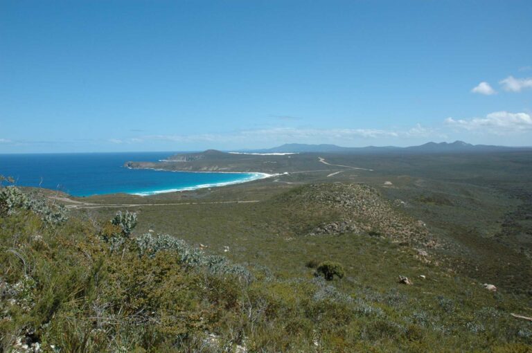
The Shire of Gingin and Department of Transport were seeking to obtain an understanding of how the coast within the Shire of Gingin changed throughout the year, especially at Lancelin, Ledge Point and Seabird. The information obtained would assist in ongoing management of the coast in the locality – which is currently under threat by erosion and inundation.
Land Insights worked with ProSurveys to survey the coast at three separate times throughout 2021 – once in Autumn and Spring, and once following a significant winter storm event.
In undertaking the work, Land Insights deployed an RPA to the coast areas and obtain oblique and nadir photos of the coast, and then using specialised photogrammetry techniques created orthomosaics, elevation models, contours and 3d models of the coast.


